Pavement Geographical Management System (Gpms)


  • Sidewalk surveys:
    1. Test pits;
    2. Deviation measurements, FWD, LWD etc.
    3.  ARAN survey:
      1. Visual surveys;
      2. Rutting measurements;
      3. IRI;
  • Network assessment and rehabilitation needs;
  • Condition assessment and rehabilitation designs;
  • Flexible and rigid airport pavement installations;
  • Pavement Management Systems (SPM);
  • Flexible pavement designs;
  • Industrial pavers;
  • Mine transport routes;

The following services are provided:

  • Pavement investigation;
  • Pavement design;
  • Pavement assessment;
  • SPM report and modeling;
  • Reinforcement and rehabilitation of roadways;
  • Mechanistic pavement design simulation;
  • Maintenance and rehabilitation solutions;
  • Report on documents;
  •  Pavement Design Report;
  •  Traffic reports and geotechnical investigation reports. 

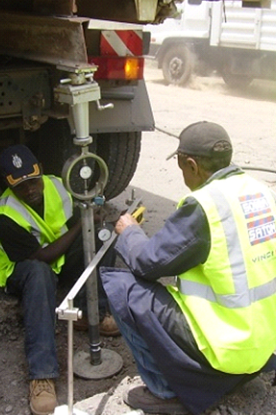
Geographic Pavement Management System (SGPM):

Our Geographic Pavement Management System (GPMS) integrates diverse and spatially referenced data, including panel inventories, sign conditions, road inventory (road width, number of lanes, etc.) and road conditions (potholes, rutting, etc.). The SGPG helps decision makers find optimal strategies for providing and maintaining pavements in serviceable condition over a period of time.

GPMS includes: –

  • Inventory – road signs and road markings linked to GPS coordinates;
  • Condition – state of signs and road conditions related to GPS coordinates;
  • Prioritization – rank projects by applying algorithms to inventory and number of conditions, based on approved criteria;
  • Work program – plan maintenance and rehabilitation projects using the list of priority projects;
  • Budget – annual financial requirements for maintenance and rehabilitation projects, as well as past expenditures can be included;
  • Web-enabled – customers have full and easy access to all data through a user-friendly interface that integrates with customer’s existing systems;
  • Monitoring – Using handheld devices, maintenance crews can be dispatched to rehabilitate a road or condition at the appropriate geographic location, while their actions are integrated into the database. Field crews can use a GIS-enabled handheld device to reduce the time to locate an area that requires special attention.

Subscribe To Our Newsletter